TurnPoint Geomatics
Forging the Future from Experience
TurnPoint Geomatics was founded with the the vision to provide exceptional survey and construction management support to Southern California’s land development and construction industries.
Our success has been founded on the commitment of our experienced personnel providing reliable service at competitive rates.
Past Performance
- Rancho Mission Viejo: The Ranch Master Plan Communities
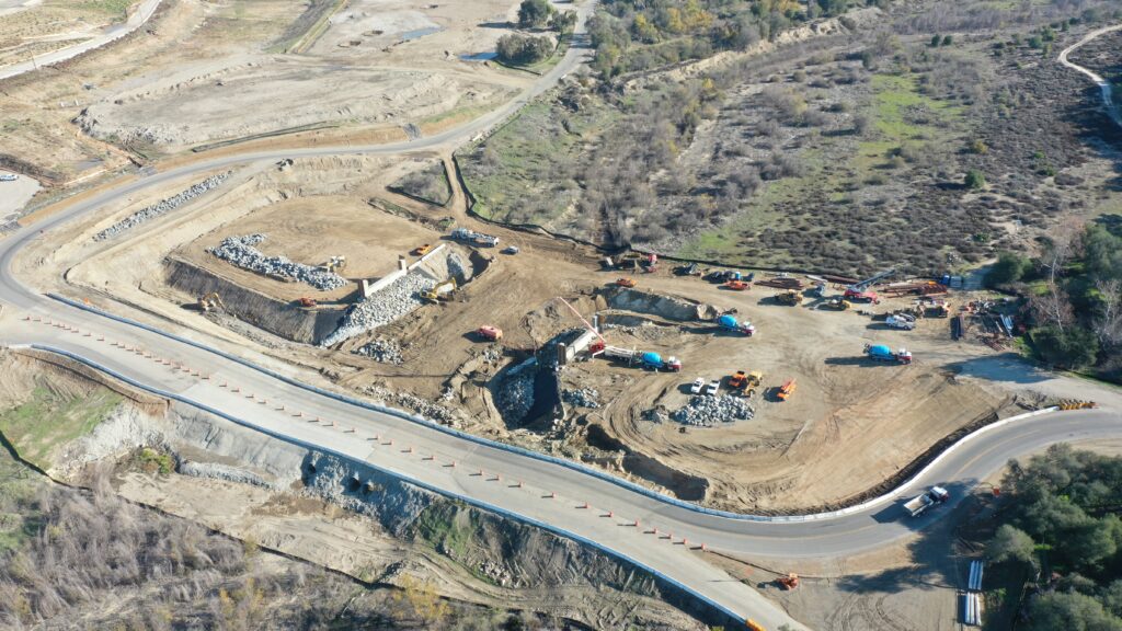
- SMWD: Trampas Dam and Reservoir
- SMDWD: Trampas Recycled Water Pump Station
- SBVMWD: SARER Phase 1b
- Skanska-Ames: I-15 Express Lanes
- Reata Glen: Orchards Health Center
- Gilcrease Contractors: Gilcrease Expressway
Construction Management Support Services
Our CM Support Services use techniques refined over the years to help our clients make informed decisions in a timely manner.
- Pre, progress, and post quantity takeoffs (earthwork and material)
- Interim design studies
- Engineering design conflict analysis
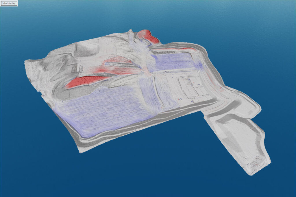
- 3D modeling for design/construction
- Grading logistics studies
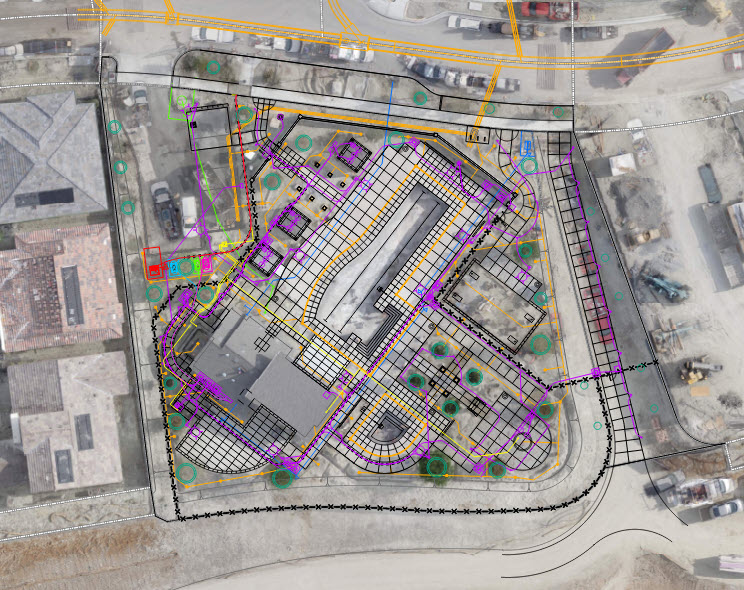
GIS Implementation
Our GIS services create a system designed to capture, store, manipulate, analyze, manage, and present a variety of geographical data.
- GIS database creation
- Asset management
- Online map portals
- Mobile device integration
- Exhibits (with or without imagery)
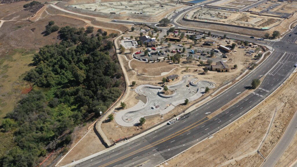
Project photo & video documentation
Our documentation services help our clients monitor their projects using cutting edge techniques.
- Photos
- Orthomosaic
- Videos
- Panoramas
- Time-lapse videos
- Marketing videos
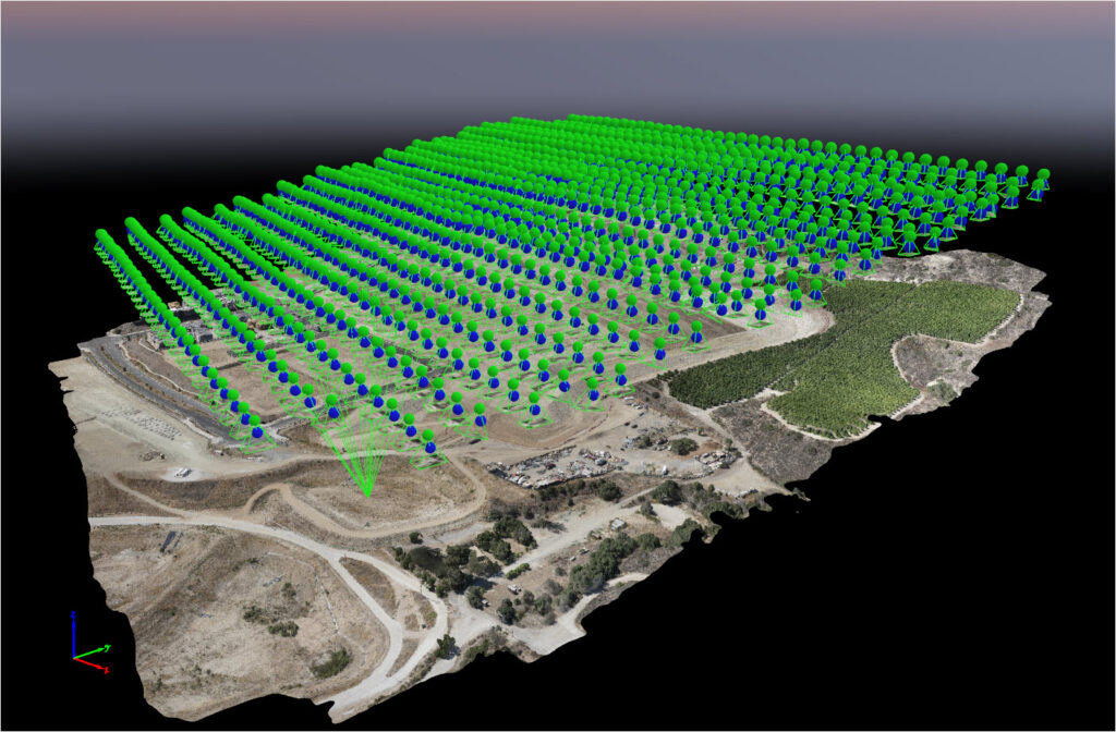
Topographic Surveys
Our topographic survey services combine multiple sensor technologies to produce accurate data.
- Conventional (total station / GPS)
- Aerial drone
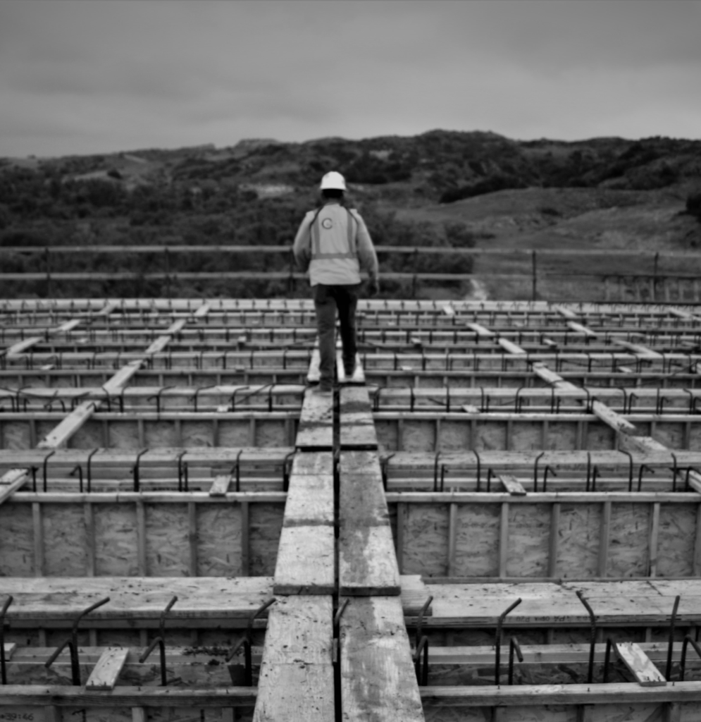
Construction Surveys
Our construction survey services utilize a process of supporting the field crews with calculations from the office to maximize their production output in the field.
- Calculations
- Building
- Bridge
- Rail
- Roadway
- Grading (Corrective, Rough, Precise)
- Underground Utilities
- Walls
- Hardscape
- Landscape
- Settlement Monitoring